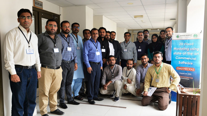
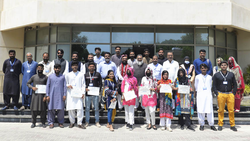
The U.S.-Pakistan Center for Advanced Studies in Water (USPCAS-W), Mehran UET, Jamshoro, organized an intensive three-day training program centered on "2D Flood Modeling." This comprehensive course is meticulously designed to enhance the skill set of officials from the Irrigation Department …
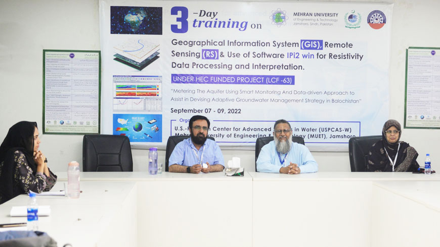
The closing ceremony of three Days of Training on "Geographical Information System (GIS), Remote Sensing (RS) & Use of Software IPI 2WIN for Resistivity Data Processing & Interpretation" was held on 9th September 2022 at Conference Hall of the US.-Pakistan …
Three Days Training on “Geographical Information System (GIS), Remote Sensing (RS) & Use of Software IPI 2WIN for Resistivity Data Processing & Interpretation” held today at USPCAS-W, Mehran UET. The training is organized by USPCASW under the HEC LCF project …
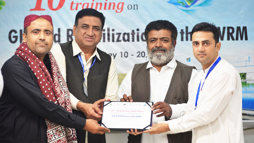
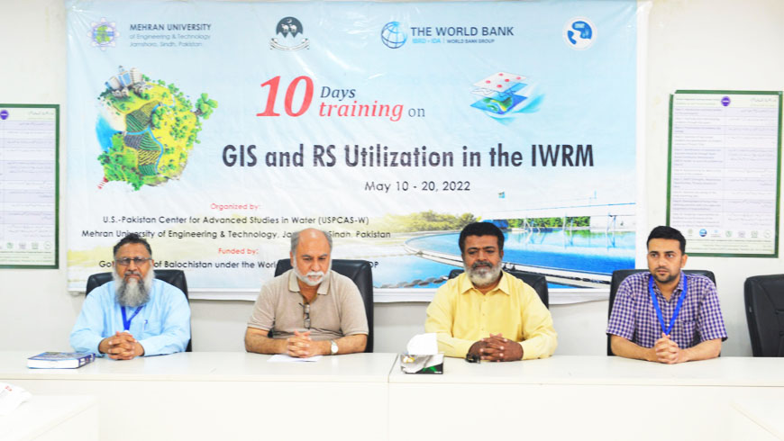
10-days training on "GIS and RS Utilization in IWRM" for the Officials of the Government of Balochistan concluded on 20th May 2022. The training was designed for Irrigation, Agriculture, Environment, Forest, and Public Health Engineering Officials of the Government of …
Prof Dr. Rasool Bux Mahar, Director of USPCAS-W, Prof. Dr. Kamran Ansari, Co-Director, USPCAS-W, Prof. Dr. Abdul Latif Qureshi HoD, Professor USPCAS-W, and Mr. Ghulam Hussain Dars (Training Coordinator) greeted all training participants and explained the program objectives and goals. …
Vice Chancellor Mehran University of Engineering & Technology (MUET) Prof. Dr. Mohammad Aslam Uqaili said to benefit the community at large the modern scientific application were being built on the latest research based knowledge and such applications works for socio-economic …
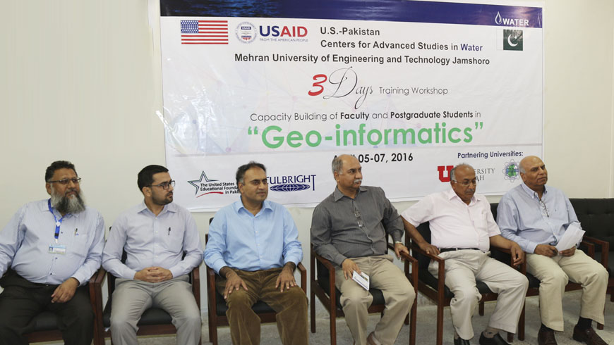
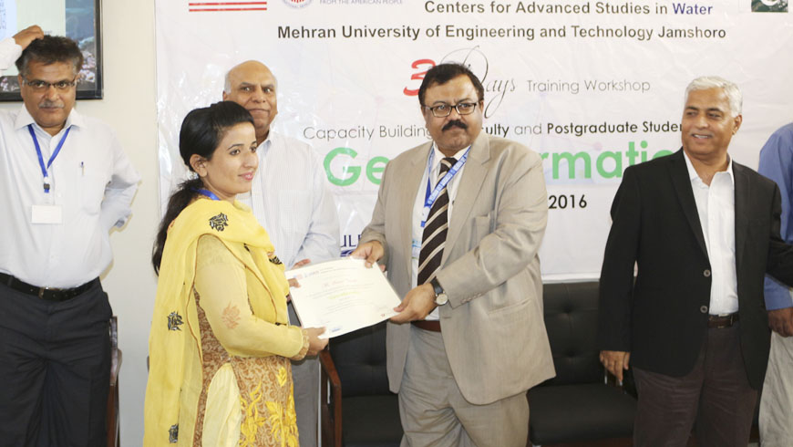
Dr. Ghous Bux Khaskheli, acting Vice Chancellor Mehran University of Engineering and Technology (MUET) inaugurated Geographic Information System (GIS) Laboratory on the occasion of launching ceremony of Three-Day Training Workshop on “Geo-informatics” organized by U.S.-Pakistan Center for Advanced Studies in …
U.S.-Pakistan Center for Advanced Studies in Water (USPCAS-W) at Mehran University of Engineering & Technology (MUE), Jamshoro in collaboration with United States Educational Foundation in Pakistan (USEFP) is going to organize a three-day training workshop on “Geo-informatics” for young faculty …

