Three Days Training on Geographical Information System (GIS), Remote Sensing (RS) & Use of Software IPI 2WIN for Resistivity Data Processing & Interpretation
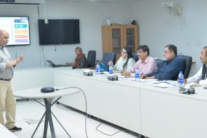
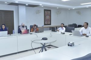
Three Days Training on “Geographical Information System (GIS), Remote Sensing (RS) & Use of Software IPI 2WIN for Resistivity Data Processing & Interpretation” held today at USPCAS-W, Mehran UET.
The training is organized by USPCASW under the HEC LCF project “Metering the aquifer using smart monitoring and data-driven approach to assist in devising adaptive groundwater management strategy in Balochistan.”
Tag:ArcGIS, Balochistan, GIS, groundwater, Remote Sensing, Training, USPCAS-W