Showing 1-12 of 316 results
Three Days Training on “Geographical Information System (GIS), Remote Sensing (RS) & Use of Software IPI 2WIN for Resistivity Data Processing & Interpretation” held today at USPCAS-W, Mehran UET. The training is organized by USPCASW under the HEC LCF project …
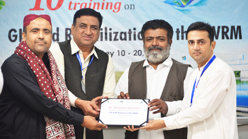
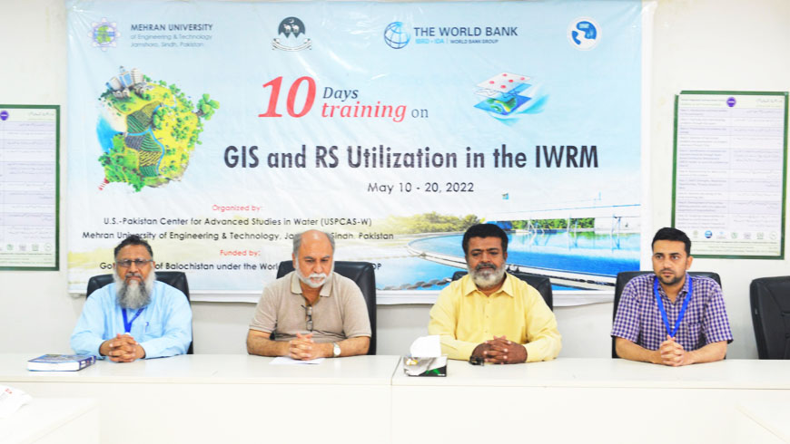
10-days training on "GIS and RS Utilization in IWRM" for the Officials of the Government of Balochistan concluded on 20th May 2022. The training was designed for Irrigation, Agriculture, Environment, Forest, and Public Health Engineering Officials of the Government of …
Prof Dr. Rasool Bux Mahar, Director of USPCAS-W, Prof. Dr. Kamran Ansari, Co-Director, USPCAS-W, Prof. Dr. Abdul Latif Qureshi HoD, Professor USPCAS-W, and Mr. Ghulam Hussain Dars (Training Coordinator) greeted all training participants and explained the program objectives and goals. …
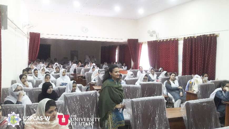
One of the important components of the USPCAS-W Project is to reach out to underprivileged areas of Pakistan and especially relevant graduate female students for taking admission in the Center. In this connection, the USPCAS-W team comprised of three faculty …