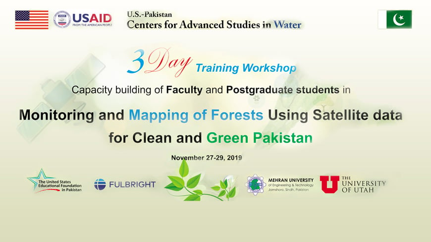
3-day Training on
Monitoring & Mapping of Forests Using Satellite Data for Clean & Green Pakistan
Introduction
Pakistan is seventh in the list of ten countries that have been severely affected by climate change. There is, therefore, an imperative need to run a persistent awareness campaign to educate the masses about the impact of climate change and their contribution to the national effort, including growing more trees and refraining from cutting them. The focus of the implementation of the ‘Clean and Green Pakistan’ movement is on creating awareness among the masses about climate change and environmental issues, tree plantation and seeking their cooperation. However, so far, there is little data available about the spatial distribution of forests, including riverine, mountainous, wetland, and marine forests and their health. Hence, it imperative that the database, mapping, and temporal variation should be available for the decision and policy makers for planning and taking initiatives for combating climate change impacts. The monitoring and mapping on a large scale can be achieved through remote sensing using satellite data. Hence, to build the capacity of the postgraduate students and young faculty to monitor the forests of Pakistan using satellite data, the training is vital. The training shall focus the following Sustainable Development Goals:
AIM
The purpose of the activity is to ‘build the capacity of postgraduate students and young faculty in monitoring and mapping of forests using Satellite data.’
Objectives
- To educate and train the postgraduate students and the young faulty for the use of the satellite data for monitoring of natural resources, especially forests.
- To provide hands-on training of GIS and Remote Sensing tools for acquiring and analyzing the satellite imagery and drawing inferences helpful for the policymakers of the country to combat climate change impacts.
Learning Outcomes
At the end of three days of training, the participants shall be able to monitor and map the forests of Pakistan using satellite data and shall
play active part in the mitigation of impacts of climate change.
Course content
- Introduction to GIS and RS
- Georeferencing
- Google Earth
- Creating kml, kmz, and shape-files
- Digitizing and map preparation
- Downloading Satellite data, i.e. MODIS, Landsat, Sentinal
- Image Classification
- Vegetation Indices
- Temporal and spatial variation in vegetative cover
Expected Outcome
After completion of training, participants will be able to:
- Use Google Earth data
- Download satellite data and Classify the satellite imagery.
- Create Forest Masks
- Create Thematic Maps.
Accreditation
Upon completion of the training course, U.S.-Pakistan Centre for Advanced Studies in Water (USPCASW), Mehran University of Engineering & Technology, Jamshoro will issue a certificate to training participants.
Accommodation
Participants will have to make their arrangements for their accommodation. However, working lunch and tea/refreshments will be served during all three days of the training.
Application Deadline: November 22, 2019
Focal Person
Dr. Altaf Ali Siyal
Professor
[email protected]
water.mued.edu.pk
Training Coordinator:
Prof. Ghulam Hussain Dars
Assistant Professor
Contact:
+92 (0) 22 2109145
+92 (0) 335 334 0405


