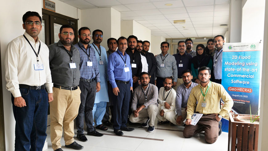
USPCAS-W organized an intensive three-day training program centered on 2D Flood Modeling
The U.S.-Pakistan Center for Advanced Studies in Water (USPCAS-W), Mehran UET, Jamshoro, organized an intensive three-day training program centered on “2D Flood Modeling.” This comprehensive course is meticulously designed to enhance the skill set of officials from the Irrigation Department Government of Sindh by equipping them with proficiency in utilizing the GeoHECRAS premium software.
The training curriculum encompasses a diverse range of topics, including but not limited to Flood Modeling, the intricacies of constructing a 2D Flood Model, the integration of Levees and Landuse/Cover elements within the Flood Model, and the specialized art of Breach Modeling within the GeoHECRAS platform. Furthermore, participants will delve into the realm of Flood Hazard assessment and the intricacies of inundation mapping, employing the tools of Geographic Information Systems (GIS), Google Earth Engine (GEE), and the acquisition of remote sensing data. The training will also provide insights into harnessing GEE for tasks such as Landuse/Cover analysis and Digital Elevation Model (DEM) generation.
This educational initiative stands as a testament to USPCAS-W’s commitment to fostering expertise in flood management and modelling, ultimately contributing to enhanced resilience and proactive strategies in dealing with water-related challenges.


