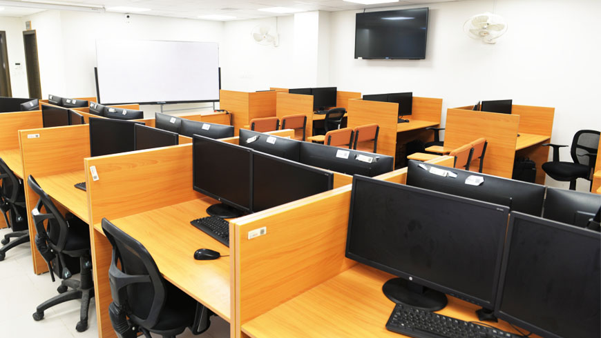
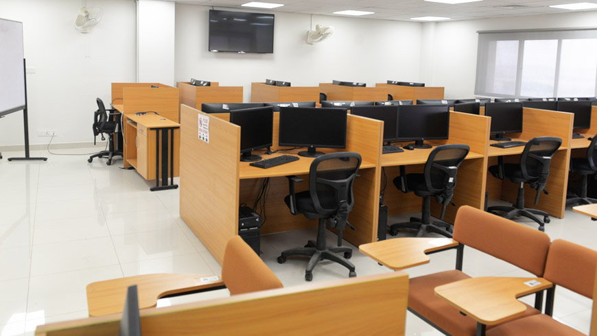
The GIS and Remote Sensing Laboratory at USPCAS-W serve as a technical and facilitation hub for GIS and Remote Sensing and their application in different fields of research and study programs offered at USPCAS-W.
Our focus is to promote multidisciplinary research using GIS and RS in Environment, Irrigation, Hydraulic and Irrigation, and Integrated Water Resource Management.
GIS lab has been involved in conducting capacity-building programs for different Government Departments, especially Sindh Irrigation Department and Balochistan Irrigation Department. GIS lab has also been involved in various projects ranging from Hydrologic-Hydraulic modeling, smart agriculture and irrigation systems, and real-time discharge and flow monitoring.
Detailed research is being also carried out on groundwater, surface water, and the environment using state of the art facilities under the supervision of experts.


