Completion Seminar on Indus River Monitoring in Sindh Using Satellite Radar Altimetry
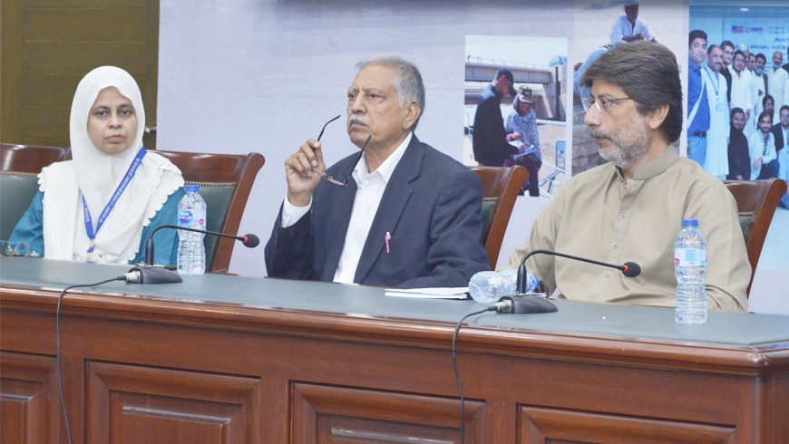
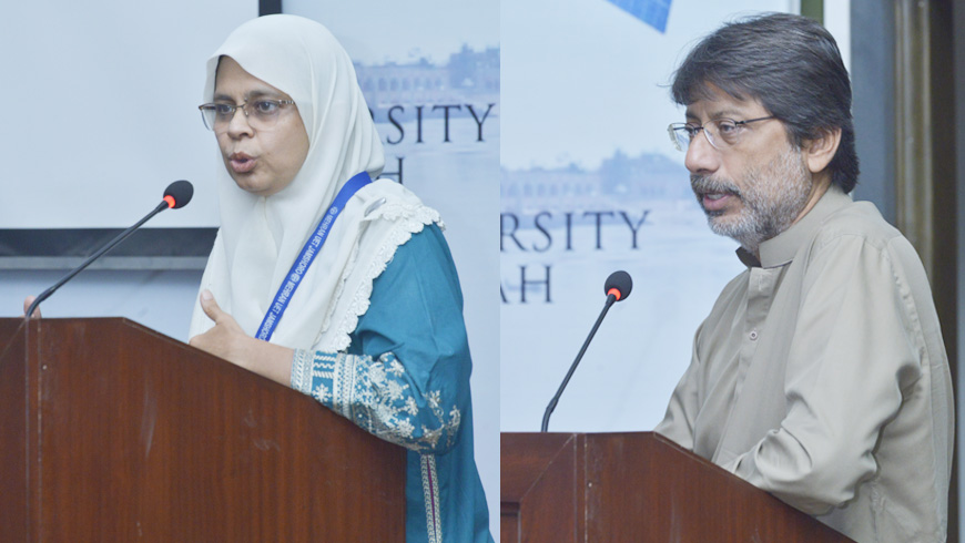
U.S.-Pakistan Center for Advanced Studies in Water (USPCAS-W) at Mehran University of Engineering & Technology Jamshoro held the Project Completion Seminar on “Indus River Monitoring in Sindh Using Satellite Radar Altimetry” on Friday, November22, 2019. The study was conducted to develop a low-cost approach for national surface water level monitoring in Pakistan to support sustainable water management. The seminar wasjointly presented by Dr. Arjumand Zaidi (Principal Investigator—academia), a senior research fellow at USPCAW, Engr. Zarif Khero (Principal Investigator—industry), superintendent engineer Sindh Irrigation Department, and Prof. Dr. Badar Munir Khan Ghauri (Co. Principal Investigator) from Institute of Space Technology, Karachi.
Representatives of Sindh irrigation department and Sindh irrigation & drainage authority;faculty and students of Mehran University—Jamshoro,University of Karachi, NED University of Engineering and Technology—Karachi, Federal Urdu University, Sindh Agriculture University—Tando Jam; Institute of Space Technology (IST), and Shah Abdul Latif University—Khairpur attended the seminar.Prof. Dr. Bakhshal Khan Lashari (Project Director, USPCAS-W) andProf. Dr. Rasool Bux Mahar (Deputy Director, USPCAS-W) were also present in the seminar.
Prof. Dr. Kamran Ansari (USPCAS-W) welcomed the seminar participants and guests. He briefed about the vision of USPCAS-W towards applied and need-based research with Industry-Academia collaboration. Dr. Ansari further added that the Indus River, the prime water resource of Pakistan, has a limited gauging network, especially at remote locations.He also stated that the existing network is not sufficient for developing an integrated water resource management plan for the Indus River Basin. Therefore, there is a need to develop a low-cost sustainable water monitoring techniques.
Prof. Dr. Badar Ghauri briefed about thefundamentals of satellite radar altimetry and its application. He added that the satellite radar technique is particularly useful to monitor water level variations over lakes, rivers, and reservoirs, especially when in-situ data are sparse and non- existent. He also emphasized that the effectiveness of these remotely sensed data was evident in both real-time and long-term applications through various studies in the area of discharge modeling, flood mitigation, agriculture water management, and environmental assessment.
While briefing the project methodology and results, Project Principal Investigator (PI), Dr. Arjumand Zaidi, shared that this study provides the first validation experiment of altimetry data over the Indus River. Moreover, she said that with the help of this technique we could fill data gap by providing an accurate and reliable flow monitoring system for managing reservoir operations, including water releases and water allocations among various users of the Indus River water. This research has endorsed that building a reliable water level monitoring system can be achieved using technologies of satellite radar altimetry and new monitoring developments such Internet of Things (IoT). In comparison to the limited or restricted availability of gauge data, this research confirms the satellite observations advantageous.
Mr. Zarif Khero, PI from the industry side,appreciated the efforts of USPCAS-W and USAID for providing the funding over the monitoring of Indus River using Satellite Altimetry. Moreover, he highlighted the conventional monitoring methods being practiced these days. He further emphasized that this is the time for changing the trend towards advanced technologies and research-based solutions. He supported the industry-academia collaborationthat could play a significant role in improvement and progress of industrial sector. Participants asked many questions regarding temporal resolution of the altimetric mission, applicability of the data for flood management, and potential of satellite data to estimate river flows. They further asked about the limitations of the technique and how these limitations can be addressed to exploit the potential of the altimetry data to the maximum.
In the end, Dr. Bakhsal Lashari thanked all guests for attending the seminar and appreciated the efforts of the project team for successful completion of the project. He also hoped to have more such collaborations between academic institutions and industrial sectors in future.
The study was conducted by Dr. Arjumand Zaidi (PI—academia), a senior research fellow at USPCAS-W, Engr. Zarif Khero (PI—Industry), superintendent engineer at Sindh Irrigation Department, and Prof. Dr. Badar Ghauri (Co-PI) from Institute of Space Technology, Karachi, Dr. Stefano Vignudelli, an international expert from Consiglio Nazionale DelleRicerche, Pisa Italy, guided the project team to process satellite radar altimetry data. The other team members were Ms. Sumaira Zafar, Mr. Saad ul Haq, Ms. RamshaMuzaffer, Mr. Babar Naeem, Ms. Vengus Panhwar, Mr. Nabeel Ali Khan, Mr. Talal Naseer, and Mr. Shoaib Jamro.
Tag:Federal Urdu University, Indus River Monitoring, Industry-Academia collaboration, Institute of Space Technology, IST, Mehran UET, Mehran University, NED University, Satellite Radar Altimetry, Shah Abdul Latif University, Sindh Agriculture University, Sindh Irrigation Department, USPCAS-W, Water, Water Center

