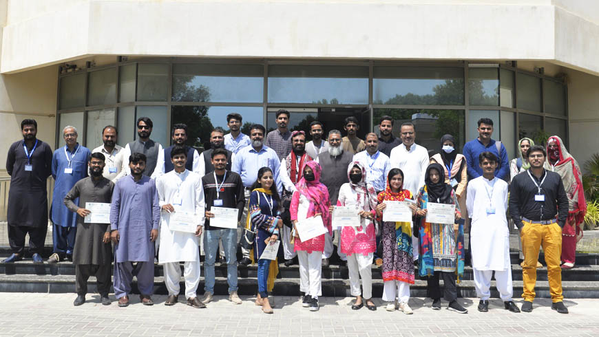
Closing Ceremony of three Days of Training on Geographical Information System (GIS), Remote Sensing (RS) & Use of Software IPI 2WIN for Resistivity Data Processing & Interpretation
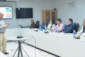
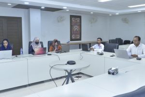
The closing ceremony of three Days of Training on “Geographical Information System (GIS), Remote Sensing (RS) & Use of Software IPI 2WIN for Resistivity Data Processing & Interpretation” was held on 9th September 2022 at Conference Hall of the US.-Pakistan Center for Advanced Studies in Water, Mehran UET, Jamshoro.
Upon completion of the three training days, Prof. Rasool Bux Mahar, Director USPCAS-W, MUET, expressed his congratulations to every training participant and awarded certificates.
The training was organized by USPCAS-W under the HEC LCF project “Metering the aquifer using smart monitoring and data-driven approach to assist in devising adaptive groundwater management strategy in Balochistan”. During the ceremony, Prof Dr. Abdul Latif Qureshi (HoD, USPCAS-W), Dr. Arjumand Zaidi (Sr Research Fellow, USPCASW), and other officials attended the ceremony.

