
GIS & Remote Sensing Lab
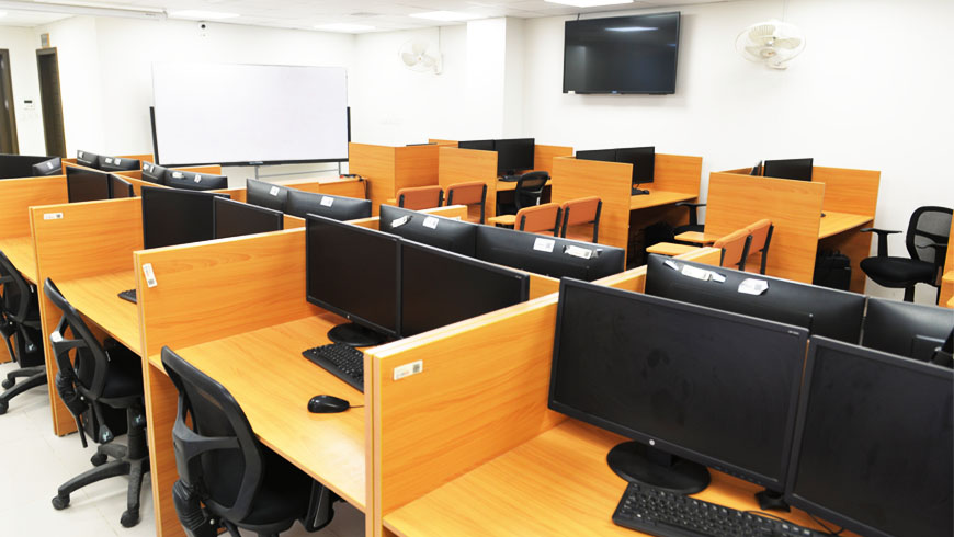
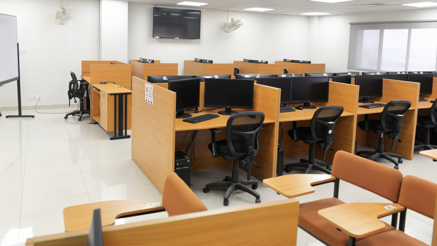
The GIS and Remote Sensing Laboratory at USPCAS-W serve as a technical and facilitation hub for GIS and Remote Sensing and their application in different fields of research and study programs offered at USPCAS-W. Our focus is to promote multidisciplinary research using GIS and RS in Environment, Irrigation, Hydraulic and Irrigation, and Integrated Water Resource Management. GIS lab has been involved in conducting capacity-building programs for different Government Departments, especially Sindh Irrigation Department and Balochistan Irrigation Department. GIS lab has also been involved in various projects ranging from Hydrologic-Hydraulic modeling, smart agriculture and irrigation systems, and real-time discharge and flow monitoring. Detailed research is being also carried out on groundwater, surface water, and the environment using state of the art facilities under the supervision of experts.
The GIS & Remote Sensing Laboratory at the US-Pakistan Center for Advanced Studies in Water (USPCAS-W), Mehran University of Engineering & Technology (MUET), Jamshoro, serves as a premier technical and facilitation hub designed to advance the applications of geospatial technologies in water resource management and environmental studies. This state-of-the-art facility is dedicated to promoting multidisciplinary research by integrating Geographic Information Systems (GIS) and Remote Sensing (RS) into core domains such as environmental engineering, hydraulics, smart irrigation systems, and Integrated Water Resource Management (IWRM). Under the supervision of academic experts, the lab provides students and researchers with cutting-edge computing facilities and specialized software to conduct detailed spatial analyses, map hydrological changes, and address complex environmental challenges.
Beyond its academic and research contributions, the laboratory plays a pivotal role in regional capacity building and institutional strengthening by collaborating closely with various public sector organizations. It has been actively involved in conducting specialized training programs for government bodies, most notably the Sindh Irrigation Department and the Balochistan Irrigation Department, to modernize their water management workflows. The lab’s technical expertise drives a wide array of impactful projects, ranging from sophisticated hydrologic-hydraulic modeling and real-time river discharge monitoring to the development of smart agricultural systems. By utilizing advanced spatial data to evaluate groundwater reserves, surface water dynamics, and climate change impacts, the GIS & Remote Sensing Lab bridges the gap between high-level geospatial data and practical, data-driven policymaking for sustainable water governance in Pakistan.